What’s New at WIGeoGIS
News from the Geomarketing World
Here you will find the latest news about the methods, products and consulting services of WIGeoGIS.
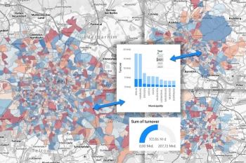
Power BI Visual for Territory Planning
Our visual displays your planning from SalesNet directly in Power BI. Visualize and analyze your KPIs in current structures in the dashboard. You can even keep all the data on your own servers upon request.
What are the advantages of QGIS software?
QGIS is the basis for geo-analytics on desktop systems. With a wide range of functions, open source software is the right choice for numerous applications.
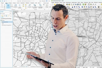
ArcGIS versus QGIS: Which DesktopGIS comes out on top in a direct comparison?
Andreas Marth compares the two leading GIS systems in terms of costs, user-friendliness, data formats, visualization and analysis options. He has a clear favorite!

Customer Journey Data Germany
The data provides insights into the interaction and purchasing behavior of German consumers. Most importantly, it tells you WHERE and how can you reach your target groups.

QGIS for Businesses? An Interview with GIS Expert Josef Mayer
QGIS is an open source GIS software that also provides maximum value to businesses for geomarketing analytics. QGIS expert Josef Mayer explains why in an interview.
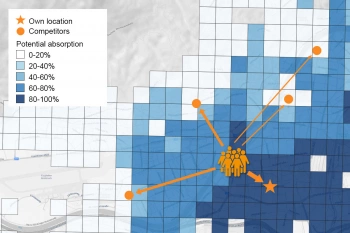
Create Sales Forecasts with the Location Analysis Tool WIGeoLocation
Create sales forecasts for existing and planned locations with the location analysis tool and make well-founded location decisions.
Expert Interview on Trends and the Latest Features in the Geocoder JoinAddress
Renate Dumberger and Harald Meier join us for a conversation about geocoding in modern data analytics, innovations through AI and interesting facts about JoinAddress 5.0
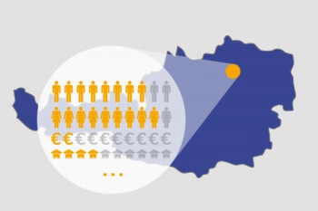
Demographics Austria 2024/2025
WIGeoGIS delivers demographic data of Austria - population, age, purchasing power, as well as hundreds of other characteristics.
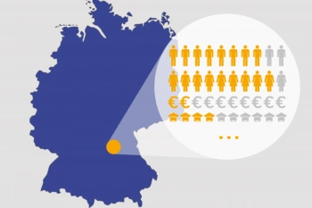
Demographics Germany 2024/2025
Demographics Germany - population, age, purchasing power. And whatever else you want to know. WIGeoGIS is your specialist for demographic data.
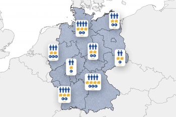
About the Demographics of Germany
Are you looking for detailed information about the demographics of Germany? Request your test data for free with no obligation!
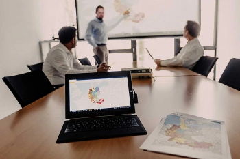
Top Reporting with WebGIS Software
Create complex reports for any region in just 2 steps with the new version of our WIGeoWeb software.
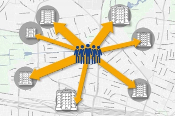
Perform a Location Assessment Using a Gravity Analysis
Gravity analysis provides a well-founded basis for your location assessment and sales forecasts.
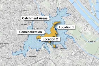
Calculate Cannibalization Rate Using Overlay Analysis in QGIS
QGIS plugin makes the cannibalization of two or more locations visible and shows how much business they are taking away from each other.

Artificial Intelligence and GIS
Artificial Intelligence in geomarketing gets even more out of location analyses and sales forecasts, now and in the future. Find out more in this WIGeoGIS expert interview.
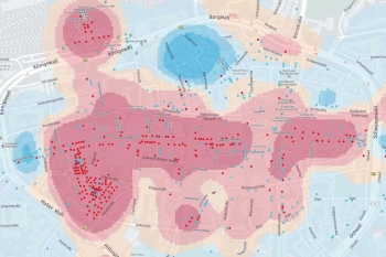
Location Analysis with Artificial Intelligence
Three years of development went into WIGeo Location Atlas, taking location analysis to a new level. With this new product, you can find the most attractive areas for your location more quickly than ever before.

Integrating Internal Geodata in GIS
WIGeoGIS experts Andreas Marth and Michael Steigemann answer questions about data integration in GIS in the following interview. You gain transparency and get the added value from your data.
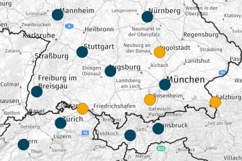
Dealer Network Development in Geomarketing
WebGIS software supports dealer network development: You analyze your market, find potential areas, define dealer areas and thus create the basis for operational measures.

Market Analysis & the Power of Maps
In an interview, the CTO of WIGeoGIS gives an overview of areas of application and trends for GIS and WebGIS based analysis tools and digital maps: “The power of maps for market analysis is often underestimated!”
WIGeoWeb 5.2 – Even More Flexibility & Clarity in Data Analysis
With the new 5.2 release, you can work even more flexibly and individually. Check out the overview of the new highlights or test the latest features and software yourself for free and with no obligation!
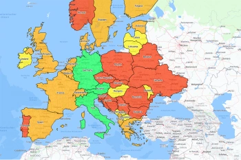
Make an Interactive Map
With WIGeoWeb, you can display your company on the map. Interactive and worldwide. Customers, sales areas, sales - everything at a glance.

Analyze Data with WIGeoWeb
With WebGIS, you can analyze data intuitively and get understandable results. The georeference reveals information that traditional tools can not show you.

Capture data faster with maps
The brain processes images 60,000 times faster than text. Spreadsheets can not even compete. Take the video self-test and learn more!

An Interview with Geodata Experts
WIGeoGIS experts Norbert Hackner-Jaklin and Martin Ortner answer current questions about geodata. What is the benefit of combining geodata with company data?

Analyze Market Penetration
With geomarketing you can find potential customers, turnover and sales! Compare your company key data with current market data on a small scale.
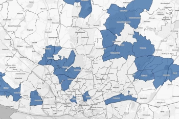
White Spot Analysis: Detecting White Spots
White spot analysis, the key to your potential regions! Be it for branches networks, retailers or sales. You can easily identify the best places for your business!
Business Development and Geomarketing
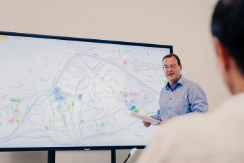
Identify market and customer potential, open up business areas, develop sales networks: Geomarketing analysis tools are ideal for a wide variety of business development tasks.
WIGeoWeb 5.1: Even More Practical & Quicker for Your Everyday Analyses
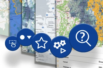
With the new release, you can work even more efficiently and quickly. The highlights of the WebGIS at a glance.
Display Customers on a Map
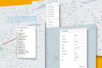
With the online tool, WIGeoWeb, you can easily display your customers on a map. You can also use the customer map tool to, among other things, filter, categorize and segment your customers.
WIGeoGIS: Request a FREE Live Demo!
- FREE Live-Demo* of GIS Software
- Non-binding, without further obligations
- Online presentation via video call
Do you want to know more about WIGeoGIS products? I will be glad to support you.

