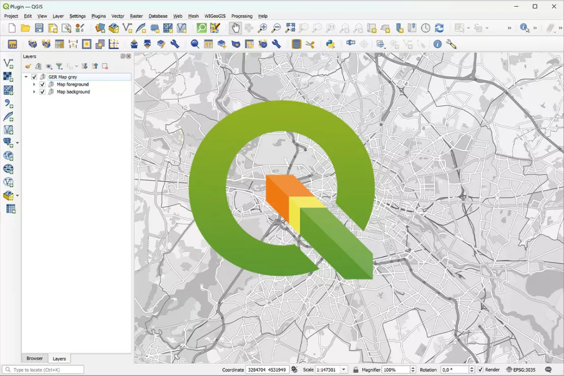
QGIS Software: What Advantages Does It Offer?
QGIS is the Basis for Geo-Analytics on Desktop Systems
QGIS is the right decision for your GIS software with all the advantages of open source software. WIGeoGIS offers a solution package based on QGIS with extended functions developed especially for companies, as well as technical and professional support to meet your specific needs.

QGIS: Free Open Source Software for Desktop GIS
- Operating system: Windows, Mac, Linux
- Features: Data visualization, mapping, data manipulation, data management, analysis tools
- Expansion through plugins
- WIGeoGIS Plugins: WIGeo QGIS, Geocode Plugin, ATP Territory Planning, Huff
- Users: GIS and geomarketing experts
- Training: is recommended / WIGeoGIS offers individual training online or on-site
- Download
An Overview of the Key Points
QGIS Software, Market Data, Digital Maps - Expertise from a Single Source
- QGIS is a user-friendly GIS software that is used around 800,000 times a day worldwide.
- Since QGIS is an open source GIS software, there are no license costs.
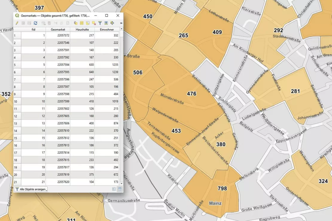
- With QGIS, you can easily create digital maps and visualize your data, edit spreadsheets and create layouts of your analyses to be included in your presentations.
- The desktop software runs on the operating systems Windows, Linux, Mac.
- The GIS software supports a variety of geodata formats and functionalities.
- QGIS is modular and open.
With WIGeo QGIS, WIGeoGIS extends the QGIS software with a plugin that has numerous functions specifically tailored to geomarketing. Through the combination of market data, digital maps and additional functions, this solution provides the best basis for your analyses.
Curious what QGIS can offer your business? Contact us for more information!
Helpful Facts About QGIS and the WIGeoGIS Products & Services
What Does the QGIS Software Offer?
QGIS is a comprehensive GIS software with numerous functions and a wide range of possible uses for companies. Collect, process and analyze your spatial data.
QGIS is a free software. At the same time, it is complex to use and often requires prior GIS knowledge or support from experts. Simplify your work processes with QGIS and get advice from the WIGeoGIS team if needed!
If you do not find all the functions you need in QGIS, WIGeoGIS also offers QGIS-plugins for your geomarketing data analyses, which also make it easier to use. We also develop individual extensions for your specific needs. Our offer covers the entire range of geographic analyses.

User-Friendly GIS Software
- Analyze data spatially + display it on digital maps
- Use a variety of symbols to highlight specific information
- Label comprehensively
- Automate recurring analyses (e.g. location analyses)
- Enhance presentations + reports
- and much more ...
Market Data and Geodata
A GIS without data is worthless. With QGIS you can:
- Integrate different data
- Visualize and query data
- Analyze data
- Edit, manage and export data
- Create map layouts and reports
QGIS supports numerous geodata formats
- PostgreSQL/PostGIS database
- Oracle Spatial database
- Esri FileGDB
- Esri Shapefile, MapInfo, GML
- Approximately 70 raster formats for height models, aerial images and satellite images
- OGC compatible: WMS, WMTS, WFS...
Simply contact us!
Please send me more information or contact me.
