Planning for Sales Territories & Sales Representative Areas
The Easiest Way to Plan and Display Sales Territories
From the status quo to the ideal sales structure on the map in next to no time: We help you plan it. You consult with your colleagues and finalize it.
Sales Territory Planning Has Never Been So Easy!
- Sales territories on the map according to ZIP Codes, municipalities or individual structures
- Territory planning for Germany, Switzerland, Austria and all other countries in Europe
- Planning based on your needs, easy coordination within your company
- No need to install any software
- Short lead time, new territory planning in just a few days
Do you have to replan your sales territories and sales representative areas? Preferably as quickly as possible and without purchasing software? Yet, you still want to visualize the sales territories on digital maps? The new territory planning should be easy to transfer to your IT systems? Would you like to involve your employees and colleagues in order to achieve a high level of approval for the new territory plan?
You can do all that and more with WIGeoGIS!
Sales Territory Planning: Request a FREE Initial Consultation!
The Steps for Successful Sales Territory and Sales Representative Area Planning:

1. Kick-off Meeting and Data Transfer
We clarify all the important questions. Afterwards, you send us your current territory plan as an Excel file:
- How would you like to have the territory divided: Into new areas? Less areas? Areas with equal potential or workload?
- For which countries, regions, provinces/cantons do you need territories?
- What is the goal of the new plan?
- Which geographical basis do you want to use to divide the territory: Zip Codes, municipalities, counties/districts, custom?
- Are there any restrictions, e.g. existing customer relationships?

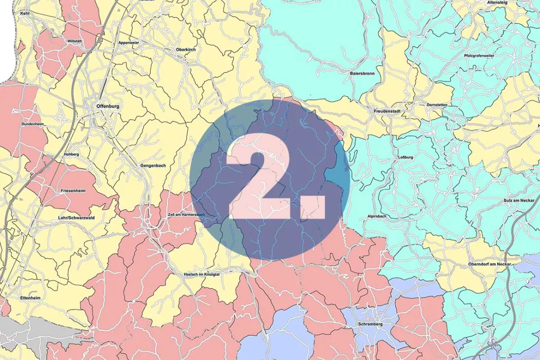
2. Status Quo: Your Sales Structures on the Map
From this point forward, we take over. We display your current structures on the map:
- Locations of the employees
- Locations of the customers and their assignment to the respective employee
- Current assignment according to ZIP Code or other spatial structures
This shows: Are the sales territories compact and efficient? Do they look like a patchwork like in the example picture? Are the territories comparable in terms of workload and potential?

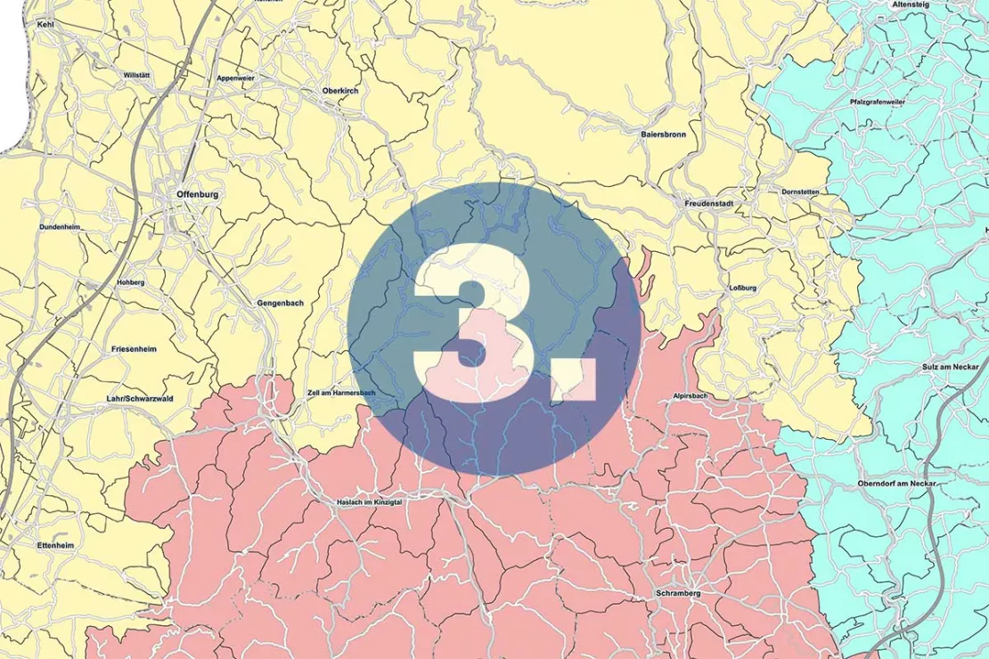
3. Analysis and New Territory Planning
This process can be carried out in multiple steps, depending on your requirements. We run through different scenarios and determine a sensible plan for your sales territories and sales representative areas:
- Automatic planning for existing structures: Optimize areas. Divide or dissolve areas.
- Manual planning for existing structures: Optimize critical points. Change/rename area names. Inheriting areas.
- Greenfield planning: First establishment of regional structures: You are opening up a new market and would like to divide it for example between 10 sales representatives.

4. Presentation of the sales territories, final adjustments, Excel file with the new structure
Now you come back into play. We provide you with our proposal for the new territory plan as a digital, interactive map for 2 months. The tool runs in the WIGeoGIS Cloud. No installation necessary!
In the WebGIS tool you can edit the sales territories yourself, for example assign customers to other employees. When you have agreed on the territory plan with your colleagues, we will provide you with your new sales structure as an Excel file for transfer to your IT systems.
Plan and visualize sales territories quickly! Request your appointment for a free initial consultation now.
Advantages of a Transparent and Good Territory Planning
Optimal sales territories and sales representative planning are worthwhile for every company in several ways:
- Optimal coverage of customers and potential
- Efficient use of the sales team/sales representative team
- Less travel time and costs
- Fair comparison of performance, fair evaluation and thus satisfied employees
- Good customer relationships
Optimal Planning for Sales & Sales Representatives with Our Help
We work with the high-performance GIS WIGeoATP, a software that has been specialized over years for the analysis, planning and visualization of sales territories and sales representative areas.
We are a team of GIS experts. Territory planning has been one of our core competencies for over 25 years. In addition to carrying out area analyses and planning sales territories and sales representative areas for companies in various industries, we also develop and optimize intelligent tools for geographic analyses and territory planning, such as the GIS software WIGeoATP.
WIGeoATP has weighting algorithms that automatically create compact and thus efficient sales territories according to different specifications. This smart GIS software coupled with technical expertise and experience enables us to divide territories into different areas in a very short time.
Our promise:
“As soon we know what you need and have the data for your sales structure, we will provide you with a new plan in just a few days. You will be able to see your new sales territories displayed on the map so you can edit them interactively in the WebGIS tool.” Wolf Graf, Managing Director WIGeoGIS
Request an Appointment for a Free Initial Consultation for Territory Planning!
Tip: Good Territory Planning Requires Good Data - We Can Help!
One of the main challenges of territory planning is missing or inaccurate data. A complete, well-organized database is the prerequisite for planning sales territories and sales representative areas.
An ingenious trick for bringing order to the mountains of data is so-called geocoding. Here, addresses are assigned X/Y coordinates, i.e. an exact point on the map. This point is always valid and independent of ZIP Codes, municipalities and country borders. This means the territory planning regularly carried out by management can be done much more easily. Should the ZIP Codes or borders change, the new administrative structures can be transferred with a single click on your sales territory and sales representative structure.
Geocoding your address data is always part of our service, regardless of whether you wish to visualize territories for sales and sales representatives, analyze territories or divide territories for sales and sales representatives.
Territory Planning: Request a Free Initial Consultation!
- FREE initial consultation on territory planning
- Non-binding and free of obligation
- By phone or video call
Would you like to optimally plan your sales territories and sales representative areas? I will gladly support you. Please contact me!

