Geomarketing Case Studies
Convince yourself
Read how our customers use the products and consulting services of WIGeoGIS.
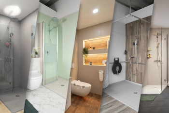
Viterma Bathroom Renovation: Sales Territory Planning to Franchise Consulting
Sales forecasts, sales territory planning, franchise consulting: Viterma uses the WIGeoWeb software in a variety of ways across the DACH region.
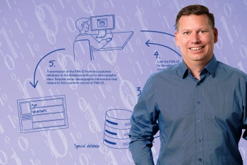
Geocoder Innovation: Marketing Tool from panadress with WIGeoGIS Technology
The DataCoder from panadress is a marketing tool for enriching microgeographic information that complies with data protection regulations.
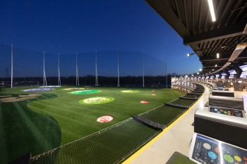
Greenreb: Location Planning for Topgolf Facilities
Greenreb builds facilities for the sports and entertainment concept Topgolf in Central Europe. With the help of WIGeoLocation, they ensure the investment in each new facility is worthwhile.

Sales Area Planning at Ascendum Construction Equipment
Ascendum sells, rents and services premium quality construction equipment. In six countries, Ascendum plans sales, customer service and recruitment with geomarketing software.

Geodata in Health Insurance - The AOK Nordost
Healthcare planning: The AOK Nordost relies on GEOmarkets and other tools from WIGeoGIS to optimally provide their policyholders with doctors and preventive healthcare services.
Location Analysis in Real Estate Development
The FIM Unternehmensgruppe is continually expanding, developing and optimizing its portfolio of retail properties. Purchasing decisions are optimally prepared with the help of WIGeoLocation.

JYSK is using geomarketing solutions
In order to grow, customers must be won away from the competition. This is only possible through a perfect location selection.

Case Study: Lotto Baden-Württemberg
Lotto Baden-Württemberg relies on the geo tool WIGeoLocation and data from WIGeoGIS for location analyses and location planning. This allows the betting provider to successfully further develop its network of locations.

Data Integration, Database & Analysis at TERRAGON
With a combination of a database developed in-house and the integration of the WebGIS WIGeoWeb, the market leader for high-quality senior housing has gained a unique knowledge advantage.
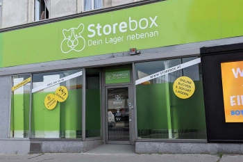
Location Analysis: Case Study Storebox
Rational and fact-based location decisions: Storebox, your warehouse next door, relies on location analyses created with WIGeoLocation.
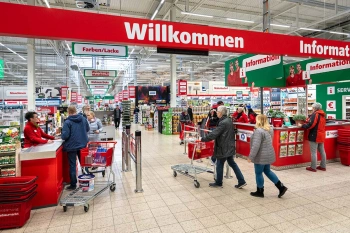
Strategic Retailer Network Planning – Example hagebau
WIGeoLocation, the geo and location analysis tool, provides support for real estate valuation, location development and sales area optimization

Case Study Archdiocesan Ordinariate
Daycare centers, churches, parish homes - the Archdiocesan Ordinariate of Munich and Freising uses modern GIS tools from WIGeoGIS when planning the needs for the building infrastructure.

Case Study WebGIS: This is how CLAAS uses WIGeoWeb
Potential analysis, market analysis and territory management all with one WebGIS! Yes! CLAAS has been using its own WIGeoGIS WebGIS to answer many questions since 2014.

Case Study STIHL
The manufacturer of chainsaws and tools for the construction industry and gardening and landscape maintenance uses the location analysis software WIGeoLocation for the development of its retail network and advertising material planning.
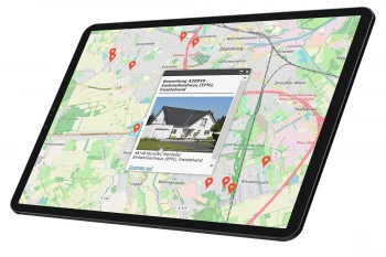
Finding Exact Geocoordinates: Real Estate Valuation at vdpResearch
vdpResearch creates over 600,000 valuations annually. They are based on coordinates provided by the JoinAddress geocoder.
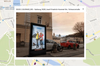
Gewista GIS - Planning and Visualization of Outdoor Advertising
Austria’s leading out of home provider relies on a custom WebGIS for media planning.
ANWR GROUP Manages Real Estate Offers with WIGeoLocation
Location offers are managed centrally with a WebGIS extension. This increases the efficiency and speed in the market.
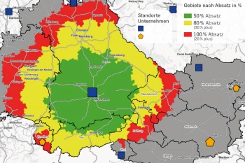
Geomarketing in Competition Law
WIGeoGIS creates geographic market analyses for merger control procedures quickly, efficiently and accurately.
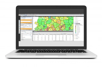
VDMA - WebGIS supports tractor manufacturers
VDMA Agricultural Machinery uses WebGIS to support tractor manufacturers with geomarketing analyses for the optimization of sales and service structures.

GIS in the Vienna Chamber of Commerce
The ServiceCenter shops of the Vienna Chamber of Commerce have collaborated with WIGeoGIS in matters of location information.
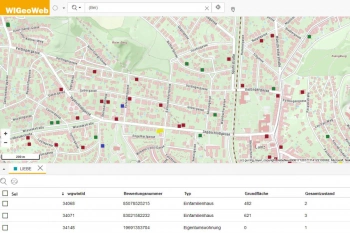
WIGeoWeb in Real Estate Appraisal
For example, Real(e)value enhances its proven, high-performance real estate appraisal tool by spatially representing the data using WebGIS.

ANWR GROUP uses WIGeoLocation
The trade cooperation ANWR GROUP generates location analyses for the specialist trade using WIGeoLocation.
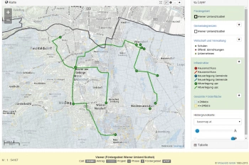
A WebGIS is supporting the broadband subsidy application process
The broadband offensive of the Federal Ministry for Traffic, Innovation and Technology (BMVIT) started on 28.05.2015.
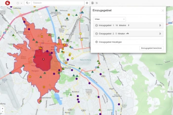
Location Planning for Lotteries - Gambling with Responsibility
Geomarketing supports the Austrian Lotteries with their location planning.

GIS Technology in Risk Management at Munich Re
For Munich Re, GIS applications are an indispensable part of risk management.
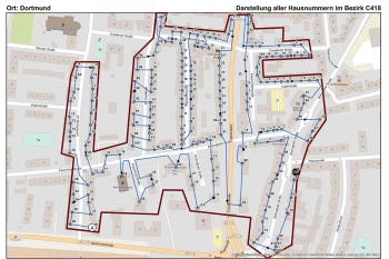
The Lensing-Wolff media company uses geomarketing
The Lensing-Wolff media company implemented a customised GIS by WIGeoGIS to manage this economic challenge of minimum wage.

Branch Marketing with Geomarketing at Erste Bank
Erste Bank´s branch marketing department has for years relied on a web-based branch and marketing information system from WIGeoGIS.

Transparent market reporting for banks with geomarketing
The Unicredit HypoVereinsbank (HVB) uses geomarketing to measure the success and potentials of its branches in Germany.

Unicredit Bank Austria: Geomarketing optimises sales structures
Using WIGeoGIS geomarketing software, UniCredit Bank Austria is optimising its sales structures based on physical branches.

WIGeoNetwork in use in the project development of new IKEA locations
The planning group Skribbe-Jansen uses the WIGeoNetwork to analyse catchment areas of IKEA locations.

Intersport: Location analyses for retail
The world’s largest dealer network has relied on WIGeoGIS’s geomarketing software in Germany for several years already.
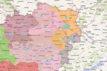
Sales development in tobacco wholesale
Eduard Rausch, internationally experienced manager for the tobacco industry and managing director of DanCzek AT GmbH, used geographical information systems for the first time in order to reshape sales.
WIGeoGIS: Request a FREE Live Demo!
- FREE Live-Demo* of GIS Software
- Non-binding, without further obligations
- Online presentation via video call
Do you want to know more about WIGeoGIS products? I will be glad to support you.

