A WebGIS is supporting the broadband subsidy application process in Austria
The integration of an easy and intuitive to use WebGIS of the WIGeoGIS allows a comfortable application of subsidies for the broadband expansion.

Case Study Overview
Customer: Federal Ministry for Traffic, Innovation and Technology (BMVIT)
Application: Broadband expansion
Product: WIGeoWeb
Goal: Convenient application for subsidies through an easy and intuitive to use WebGIS
Use: Applicants (municipal companies, municipalities, network operators, etc.)
Customer opinion about WebGIS use for broadband expansion
"The inclusion of WebGIS in the workflow of the subsidy program enables analyses for project evaluation during application, and analyses in each of the two further phases (contract preparation and invoicing) during tendering for the subsidy program. The future benefits, and therefore the success of the funding measures, for the population can therefore be promptly determined at the end of each phase."
Erwin Grabler, Broadband office of the BMVIT
Broadband offensive: A WebGIS is supporting the broadband subsidy application process in Austria
The broadband offensive of the Federal Ministry for Traffic, Innovation and Technology (BMVIT) started on 28.05.2015. A WebGIS solution from WIGeoGIS is helping to map the planned infrastructure. The subsidy programs Leerrohr, Access, Backhaul and AT:net were drawn up within the framework of a master plan for broadband promotion. These subsidy programs form the foundation for the allocation of subsidies that originate from the so-called "broadband billion". The aim is to close the digital gap between the country and cities with the help of these subsidies.
What criteria are used to allocate the subsidies?
The broadband office of the BMVIT has developed a series of criteria to support assessors in evaluating the factual and technical contents of the applications as objectively as possible. The basis is formed - in addition to formal requirements - by spatial criteria such as e.g. the current regional coverage rate and the improvements aimed for through such a subsidy for educational institutions, companies or the population. The Austrian Research Promotion Agency (FFG) is responsible for the implementation of all application processing. WIGeoGIS has provided the program components for the applications relating to the mapping of the planned infrastructure. A WebGIS that can be called up via a web browser by the applicants is used here. It is directly integrated in the workflow of the application preparation.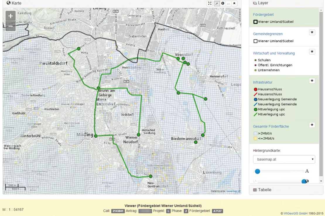
Ease of operation
One of the main challenges during the design of the solution was to
ensure the easiest and most intuitive operation possible. Every
applicant - whether municipal company, municipality or network operator -
must be able to work with the system. Teaching videos were also created
in addition to a digital handbook for support.
Statistical analyses
The necessary statistical key figures were determined for each
application on the basis of the graphical entries in the Editor. The
"equations" that are behind these key figures link several data layers
to obtain the required data.
Outlook
The application period for the so-called Leerrohr program is
currently under way. Two further subsidy programs will be starting
shortly: These are aimed at mobile and landline operators, and are
intended to improve the connection infrastructure (Backhaul program) and
improve availability (Access program).
Prior experience
The political decision to develop this subsidy program gave rise to a
logistical and organisational challenge. The online system for
applications and the necessary background data needed to be set up
efficiently and rapidly by the broadband office in cooperation with FFG
and WIGeoGIS. This was made possible through the long-term specialist
know-how of all participating institutions and persons.
Functions of the WebGIS
An easy-to-use WebGIS with the following core functions is available for the applicant:
- Editor: Mapping of the planned digital infrastructure (connections, cables, etc.)
- Viewer: Display of the mapped infrastructure in combination with further relevant layers
- Statistics: Determination of the eligible areas based on the entries in the Editor
In order to import existing geodata (such as the existing infrastructure of the applicant), the Editor offers KML import and export functions. The data can therefore be easily exchanged with GIS systems or even Google Earth.
WebGIS - further case studies and information
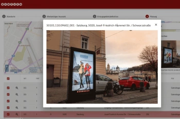
Gewista GIS - Planning and Visualization of Outdoor Advertising
Austria’s leading out of home provider relies on a custom WebGIS for media planning.
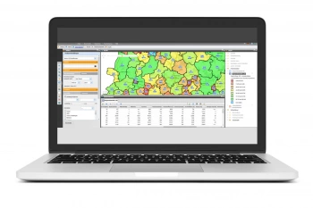
VDMA - WebGIS supports tractor manufacturers
VDMA Agricultural Machinery uses WebGIS to support tractor manufacturers with geomarketing analyses for the optimization of sales and service structures.
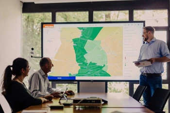
WIGeoWeb: WebGIS for Geomarketing
WIGeoWeb is your online GIS for business analysis. Interactive maps. Visualize data. Simple. Intuitive. The WebGIS for your company.
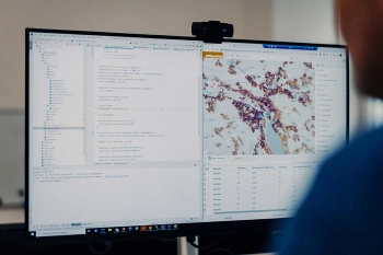
WebGIS Development
WIGeoGIS develops custom WebGIS software specifically for your business processes. We host the software or integrate it into your IT system.
WIGeoWeb: Fill out the form, test it free of charge & without obligation!
- Non-binding, free test for 30 days
- Test ends automatically without cancellation
- An employee will explain the tool in a short webinar*
* Information about the free test access: Standard regions with selected data in Germany or Austria will be made available. In Germany, these regions are districts in Munich and environs, and districts of Vienna and environs in Austria. The products of WIGeoGIS are intended for companies and are not suitable for private use. If you need a one-time market analysis, we will gladly make you a service offer.

