ZIP Code Map
ZIP Code Maps for Germany and Europe
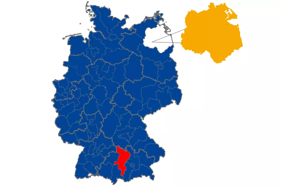
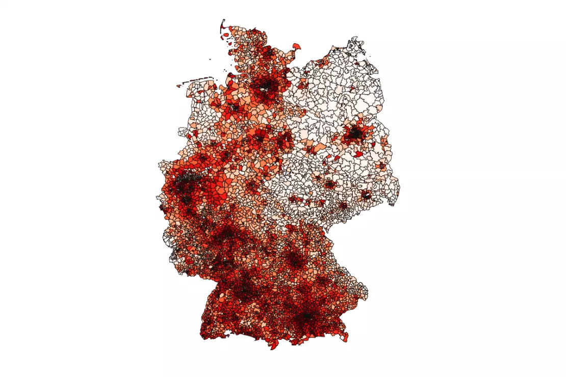
You will receive our digital ZIP Code maps as geometries so that you can further edit the ZIP Code map if you are a graphic designer for example. Otherwise, we will provide you with the digital ZIP Code map including the market data of your choice as strategic information for geographic analyses or presentations.
Our Digital ZIP Code Maps at a Glance
- Digital ZIP Code maps for all of Europe
- Always up to date
- Geometries available according to the ZIP Code system of the respective country (e.g. Germany up to 5 digits)
- Available in all standard formats
- Suitable for further editing for graphics and marketing purposes
- The data of your choice can be included upon request
- Suitable for GIS and geomarketing analyses
ZIP Code Map for Graphics or Geoanalytics

ZIP Code Maps for Graphics and Marketing
You receive the digital ZIP Code maps to order, uncomplicated and fast in all the standard formats:
- PowerPoint
- SVG
- Adobe Illustrator and other graphics programs
Ideal for graphic designers, web designers, creative agencies and marketing departments.

ZIP Code Maps for Geo-analyses
Do you need ZIP Code maps for your GIS analyses? Do you want to create geographic analyses based on ZIP Codes? We deliver the maps including the market data of your choice. ZIP Code maps are available in the following formats:
- Shapefile / Geodatabase
- GeoJSON
- Windows Enhanced Metafile (EMF)
- and many more…

ZIP Code Map for Germany
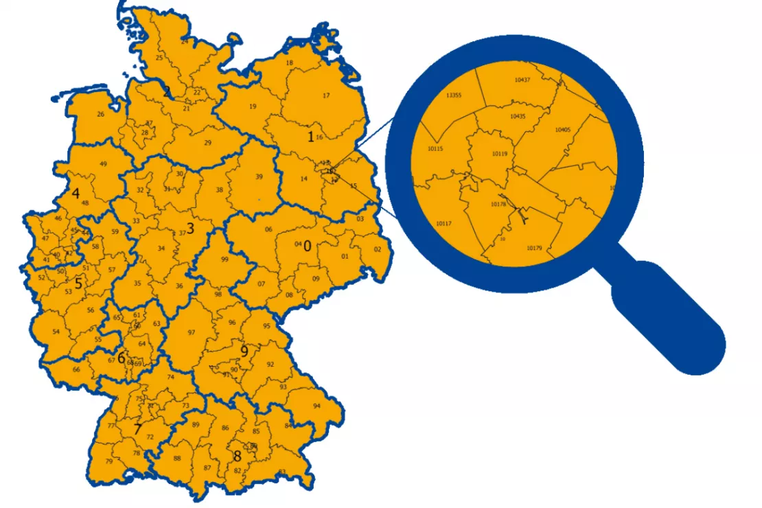
ZIP Code maps for Germany are always up to date and available in all standard formats. You will receive the digital ZIP Code maps and geometries at the desired area level:
- ZIP Code zone (Zip Code 1, one-digit)
- ZIP Code region (ZIP Code 2, two digits) for your Amazon analyses
- ZIP Code (ZIP Code 5, five digits) for analysis of postal addresses e.g. market shares
Create a Custom ZIP Code Map
ZIP Code Maps in Use: Display Customer Data with ZIP Code Areas
There are various ways in which you can use ZIP Code maps in your company. An example is the display of customer data in ZIP Code areas. In this video tutorial we show you how to do this in QGIS. Our ZIP Code maps and geodata are suitable for all common GIS tools.
These Geo-analysis Questions Can Be Answered with ZIP Code Maps
- Where do I make the most sales?
- How are my customers distributed in the ZIP Code areas?
- How many inhabitants are in a specific area?
- Where is my target group most strongly represented?
- Where do I have the highest/lowest market share?
- Where are the "white spaces" in my market area?
- Which sales representative is responsible where?
The information from digital maps makes it possible to conduct geographic analyses and create thematic maps, for example such as:
- Sales area maps
- Customer service representative maps
- Service area maps
- Customer maps/market shares
- Target group maps
- Market penetration maps
The ZIP Code represents a first, simple introduction to spatial analysis. Geographic analysis is possible on other spatial levels that can be defined in great detail and specifically for the customer’s needs.

Current ZIP Code Maps
Are you looking for a special ZIP Code map? Would you like to request a ZIP Code map now?
Call us directly at: + 49 89 321998 55 and have the following information ready:
- Which ZIP Codes or ZIP Code level do you need?
- Which file format do you need?
- Do you want a blank map / geometries or additional market data and information?
Request Your ZIP Code Map Now!
Simply call or email me with your requirements. Graphic artists will receive their ZIP Code map on the same day. ZIP Code maps that include data will be delivered within a few days.
FAQ
-
Can I get a ZIP Code map with the federal states of Germany?
Yes, that is possible. Both the ZIP Code and the federal state borders are shown on the map. The borders for municipalities, counties and administrative districts can also be provided.
-
Can I get a ZIP Code map of a specific city or ZIP Code maps with cities?
Yes! We can provide you with the ZIP Code areas of a specific city as well as a map section with ZIP Code areas and the cities belonging to those ZIP Code areas. We offer ZIP Code maps not only for Germany, but for all of Europe and selected countries outside Europe, such as Australia, China, India, USA.
-
Are the ZIP Code maps available free of charge?
No. Our ZIP Code maps are not free. They are available starting at 50 euros.
-
Can I have a ZIP Code map that also shows highways?
Yes, that is possible.
-
Can I also print out ZIP Code maps from WIGeoGIS?
Yes, that is possible. We will send you the map as a PDF file. The maps can be printed out in DIN A4, DIN A3 or any other format. Basically, any size is possible.
-
Can I select and color individual ZIP Code areas myself?
Yes, you can, if you have the appropriate software. See the next question.
-
Can I edit WIGeoGIS ZIP Code maps? If yes, which computer programs can I use?
Yes, you can edit the WIGeoGIS ZIP Code maps with GIS and graphics programs:
Graphics and presentation
- Adobe Illustrator
- PowerPoint
- Indesign
- Photoshop
GIS Software:
- ArcGIS
- QGIS
- WIGeoWeb
- WIGeoLocation
- Any other GIS system
-
How do I get the ZIP Card map?
There are several options to choose from, including: by email and as a download from our ftp server.
-
Can WIGeoGIS generate a ZIP Code map from the ZIP Codes in my Excel spreadsheet?
Yes! Email us your Excel spreadsheet and we will generate a ZIP Code map for you. Please ensure that the Excel spreadsheet is complete and contains the following information:
- ZIP Codes
- Additional information that should be visualized, such as sales figures, the number of employees or other data.
-
Can I get ZIP Code maps for a specific region, e.g. a ZIP Code map exclusively for Bavaria or Baden-Württemberg or for Hamburg, Cologne, Munich and the surrounding area?
Yes, of course that is possible.
-
Do you also offer ZIP Code maps for the cantons of Switzerland and ZIP Codes in Austria?
Yes! We provide ZIP Code maps with the cantons of Switzerland as well as ZIP Code maps for Austria, e.g. for Vienna, also with the districts or statistical enumeration districts. We have districts for every large city in the D-A-CH region.
-
Are ZIP Code maps and geometries also available outside of Europe, e.g. ZIP Code maps for China?
Yes! We can provide ZIP Code maps for almost every country in the world.
-
What is the process if I want to buy a ZIP Code map from you?
- You send us an inquiry with your requirements and how you would like to receive the ZIP Code maps.
- We confirm that we can deliver the maps you want and we will send you a non-binding estimate.
- You confirm the order.
- You will receive the requested ZIP Code maps no later than one week after the order confirmation.
-
Do I have to name WIGeoGIS as the image source if I create a graphic based on your ZIP Code maps?
No, that is not necessary. Of course, we are happy if you do.
-
How can I use a ZIP Code map?
You can use ZIP Code maps in a variety of ways. The easiest way is to visualize areas in graphics. You can use digital ZIP Code maps to plan your catchment areas, sales territories and sales representative areas as well as regional analyses and much more.
-
Can I get an interactive ZIP Code map from WIGeoGIS?
Yes, simply contact us! Use the contact form on this page or write an email to muc@wigeogis.com or vie@wigeogis.com
-
Can I plan franchise areas based on a ZIP Code map?
Yes, that is possible. We offer a special tool for this called WIGeoWeb. Or you can hire us to plan the areas for you. Simply contact us at: muc@wigeogis.com or vie@wigeogis.com
-
Can I display other key figures on ZIP Code maps? If yes, then how?
Yes, we offer that as a service. Simply contact us at: muc@wigeogis.com or vie@wigeogis.com
Create a Custom ZIP Code Map

