WIGeoGIS supports the real estate valuation of Colliers International Poland
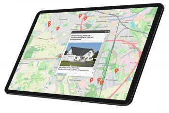
Real estate valuation is supported by GIS systems
The consideration of demographic and economic factors allows a reliable evaluation of the location environment of a property.
Case Study Overview
Customer: Colliers International Poland
Application: Real estate valuation
Product: WIGeoNetwork
Goal: Reliable evaluation of the location environment of a property
Use: Consultant of Colliers International Poland
Real estate valuation is supported by GIS systems
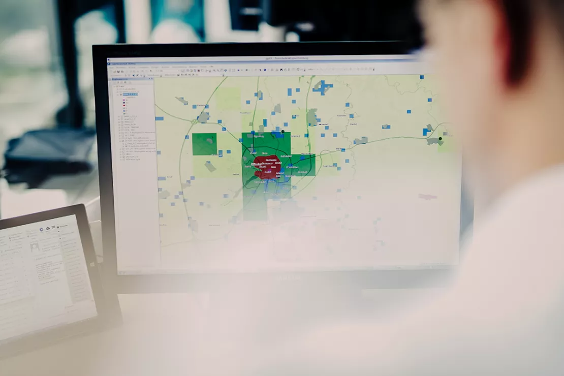
Comprehensive real estate valuation with GIS technology, new models of real estate valuation that are supported by GIS systems and geodata and assess not only classical real estate information. New models of real estate valuation which are supported by GIS systems and geodata value not only classic real estate information - they also incorporate the location and surroundings of the properties into the assessments. Colliers International Poland is also taking advantage of WIGeoGIS’s expertise and know-how in this sector. In order to ascertain the value and potential of a property reliably, WIGeoGIS has developed a valuation model that takes catchment areas into consideration. The size of the catchment area to be ascertained is determined by the riding or walking time or by a defined distance.
The software automatically collects the demographic, economic and infrastructural surroundings and evaluates them in reports. This occurs on the basis of small-scale and up-to-date data, thereby avoiding faulty evaluations. With the aid of the catchment area report, it is possible to ascertain the value of a property. In so doing, the potentials information and those characteristics that define the attractiveness of the property depending on the type of real estate enter into the valuation.
Spatial, economic and demographic factors are taken into account:
- demographic factors: population (number of residents), age structure, structure according to gender, structure of buildings, etc.
- economic factors: purchasing power, number of employees, number and size of companies, companies from selected branches of industry, etc.

ArcGIS is used as analysis software. The catchment areas are calculated with the aid of WIGeoNetwork. WIGeoStreet and numerous additional, current market and economic data in Poland form the data basis. Colliers International offers its customers the described analyses as a service. For potential renters and investors, the valuations form the basis for making secure investment decisions and assessing future profitability and effectiveness.
Colliers International
Colliers International is the world’s third-largest consulting
company that is active in the real estate market, with a network of over
520 offices in 62 countries. Colliers advises commercial lessors,
owners of real estate, and investors. Its business areas are: rental and
sales brokerage, property brokerage, consulting in the hotel and
recreation park markets, building inspection, appraisement and market
research. The company has been active in Poland since 1997 and employs
over 160 people in Warsaw, Krakow and Wroclaw.
Real estate industry - further case studies and information
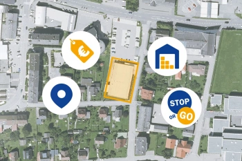
ANWR GROUP Manages Real Estate Offers with WIGeoLocation
Location offers are managed centrally with a WebGIS extension. This increases the efficiency and speed in the market.
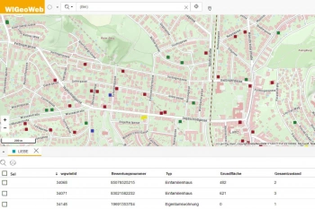
WIGeoWeb in Real Estate Appraisal
For example, Real(e)value enhances its proven, high-performance real estate appraisal tool by spatially representing the data using WebGIS.
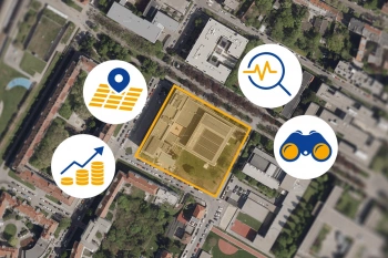
Location Analysis for the Real Estate Industry
The most important data for a property is its location or coordinates. GIS software is better than anything else for spatial analyses, efficient data management and automated processes.
Finding Exact Geocoordinates: Real Estate Valuation at vdpResearch
vdpResearch creates over 600,000 valuations annually. They are based on coordinates provided by the JoinAddress geocoder.
GIS Software: Request a FREE Live Demo!
- FREE Live-Demo* of GIS Software
- Non-binding, without further obligations
- Online presentation via video call
Do you want to know more about GIS software? I will be glad to support you.

