Geomarketing
It is always about the question of WHERE?
Why is geomarketing helpful for companies? It helps companies by allowing them to analyze data spatially using GIS software. These analyses support companies in making sound location- and data-based decisions. Find out how you can use geomarketing for your location analyses, sales management or marketing campaign planning!
What you need to know
- Geomarketing analyzes spatial data using GIS software to support location-based decisions.
- Geomarketing helps with location analysis, sales management and marketing campaign planning.
- 80% of all company data has a spatial reference, which is why geomarketing is particularly relevant.
- Geomarketing enables objective decisions by spatially analyzing and visualizing data.
- Companies use geomarketing to optimize branch networks, forecast sales and analyze competition.
- Webinars and consultations provide insights and training on how to use geomarketing effectively.
Short definition: Geomarketing uses geographic data to analyze markets and locations. Companies use it to optimize sales strategies and location decisions. By linking internal and external data, market potential can be exploited more efficiently.
What is Geomarketing?
Geomarketing is always about the question “WHERE?”. Spatial analyses provide your company with answers to regional or area-specific questions. Spatial data is the key.
Geomarketing allows you to analyse your markets and visualize your company data on the digital map. You can see exactly what is happening where - for example, in which country, in which federal state, in which sales area or on a small scale at grid level.
For geomarketing, you need internal company data and external data with a spatial reference, such as addresses or areas. You conduct the analyses using GIS software (GIS = Geographic Information System). The special feature of this software is that a GIS can also process data geographically and shows you your analysis results on digital maps, such as Bing Maps.
GIS software and geo-methods support you in planning, implementing and monitoring your market activities. Common areas of application for geo analyses are:
- Expansion
- Location planning
- Sales management
- Marketing
- and Controlling.
Use geomarketing to make smarter decisions – let’s analyze your needs together
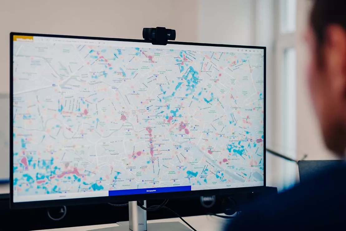
Why Geomarketing - 4 Reasons are Obvious.
- 80 % of all company data has a spatial reference.
- What are the three success-relevant location factors? Location, location and location!
- Birds of a feather flock together.
- A map says more than 1,000 words.
Benefits of Geomarketing or Why Geomarketing Works?
1. Spatial Analysis
Numerous business decisions raise spatial questions. Geomarketing software allows you to conduct comprehensive market and data analysis. The spatial information enables you to recognize relationships.
2. Objective Decisions
The strength of geomarketing software
lies in the spatial analysis of different data. The results of a
geomarketing analysis help with the rationalization and objectification
of decision-making processes.
3. Generate Added Value for Your Data
Enrich your company data with coordinates and information on markets and target groups. The value and potential uses of your data increases.
4. Identify Relationships More Easily
Generate new information by editing existing geodata and company data.
5. Individual Benefit
The analysis methods and models used
can be individually adapted to the company. The great flexibility of
geomarketing software allows your application to perform a wide variety
of services.
6. Supporting Company Processes
Geomarketing can be used in the different phases of the decision-making process, for example, location management:
- Assess potential locations
- Analyze store locations
- Find possible alternatives for branch locations
- Plan regional marketing and sales activities

Free initial consultation for Geomarketing. We will explain how it works and what you will need!
What do I use geomarketing for?
Location Analysis and Expansion
With the right geomarketing software you can assess the potential of a location and its environment based on your individual location factors. The results help you to quickly assess real estate offers and the quality of their location. | |
Geomarketing uses scoring models to allow you to compare locations objectively. The relevant location factors are standardized and a score is created for each location. This allows you to evaluate the profitability and future viability of the branch locations. | |
Geomarketing analyses help companies to achieve the best possible branch network with optimal customer-store allocation. The goal is to plan a nationwide network that enables customers to shop without having to travel long distances. Location-allocation models help achieve this. | |
Gravity analysis makes location-specific sales forecasts possible based on individual location and attractiveness factors. In this way, geomarketing helps you with your location analysis. |
Analyze Markets and Customers
Geomarketing analysis with industry-specific market potential data allows you to identify strengths and weaknesses of branch locations and sales territories at a glance. | |
| Geomarketing identifies areas where you can find your relevant target groups. GIS software visualizes and evaluates the areas on a map. | |
You will receive answers to the following questions:
| |
The spatial analysis of the competition is an essential part of any market analysis. Competition analyses help to correctly assess your own sales potential and successfully manage regional sales activities. |
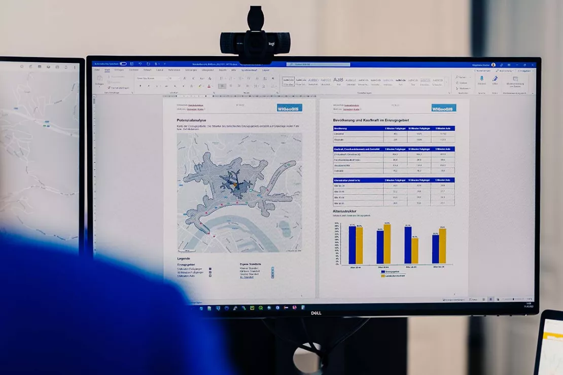
Plan and Control Sales
Companies use geomarketing to plan or change their sales territories in the shortest possible time. The criteria for territory planning can include market potential, sales, number of customers and size or accessibility of the territories. | |
Geomarketing enables regional sales reporting based on KPIs. Customer, sales and territory data are combined in your geomarketing software and visualized on maps. |
Media Planning
Geomarketing helps to spatially identify your target audience based on their characteristics. Then you can choose the media that will offer you advertising with low scatter losses at an optimal cost in the right areas. | |
Conduct your regional marketing only in the actual catchment area of your branch or retail locations. Geomarketing tells you exactly where it is. | |
If your shop is stationary and online, then your marketing will also be cross-media. Geomarketing helps to spatially identify the market potential of the various sales channels and control it with a cross-media approach. |
Start your geomarketing journey – reach out today.
What Do You Need to Successfully Use Geomarketing?
3 factors are crucial to the acceptance and success of geomarketing analyses
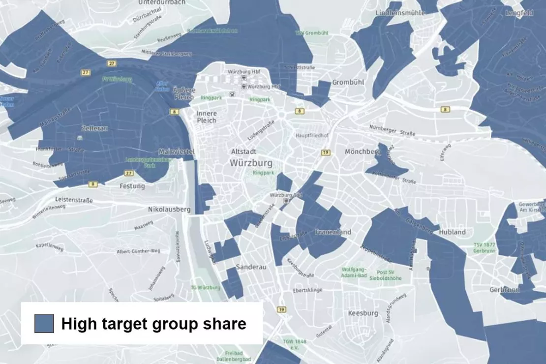
Factor 1: Current, high quality data
Only with current, correct data, the so-called market data, will you receive useful analyses. Market data consists of hundreds of characteristics on different spatial levels and describes markets, target groups, interests and customers. You will find (almost) everything from car enthusiasts to LOHAS and homeowners. We update our market data annually. We also offer industry data, traffic data and location data.
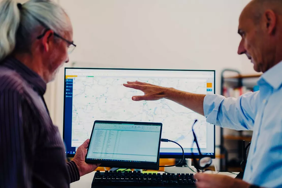
Factor 2: The Right Tool
In addition to data, you need the right software to create a geomarketing analysis. The software allows you to conduct analyses on the digital map. The results are visualized on the map, in tables and graphics. You can edit data in tables as usual. You can also create semi-automated reports for your analyses.

Factor 3: Know-How
WIGeoGIS offers customized geomarketing consultation and training. You will learn geomarketing methods, the correct use of market data and the efficient operation of geomarketing software.
We focus on your needs – geomarketing leads the way to better location and distribution decisions.
How different industries use WIGeoGIS for Geomarketing
Leading companies from numerous industries use our GIS software or commission us with individual geo-analyses for specific issues. Here you will find further information on the use and selected case studies.

Location Analysis in Retail
Location analysis is still crucial in retail. We offer the know-how and the tools to ensure you make successful decisions for your business locations.
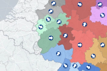
Market Penetration and Sales Controlling for Manufacturers
With the WIGeoWeb tool, manufacturers have market penetration analyses, territory management and sales controlling all in one hand.
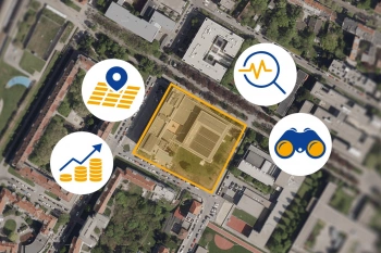
Location Analysis for the Real Estate Industry
The most important data for a property is its location or coordinates. GIS software is better than anything else for spatial analyses, efficient data management and automated processes.

Location Analysis and Territory Planning for Franchise Systems
Are you planning to assign new franchise target areas and open new locations? With data-based location analyses, expansion and territory planning in franchising are no longer a question of gut instinct.
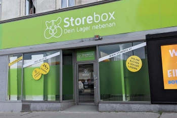
Location Analysis: Case Study Storebox
Rational and fact-based location decisions: Storebox, your warehouse next door, relies on location analyses created with WIGeoLocation.

Case Study WebGIS: This is how CLAAS uses WIGeoWeb
Potential analysis, market analysis and territory management all with one WebGIS! Yes! CLAAS has been using its own WIGeoGIS WebGIS to answer many questions since 2014.
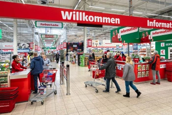
Strategic Retailer Network Planning – Example hagebau
WIGeoLocation, the geo and location analysis tool, provides support for real estate valuation, location development and sales area optimization

Raiffeisen Banking Group: Geocoding and Penetration Analyses
The Raiffeisen Banking Group uses JoinAddress to geocode addresses across the entire group and relies on demographic data from WIGeoGIS for penetration analysis and customer acquisition.
GIS and cholera or - the origin of geomarketing
Around the year 1850 there was an outbreak of cholera in London. The doctor John Snow drew up a map of London to investigate the causes of the epidemic. He marked the places of residence of the deceased with black dots on the map and discovered a conspicuous cluster of deaths around a fountain. It was therefore obvious that the fountain must be the cause of all evil, and so it was. It was contaminated.
This analysis of the spatial distribution of disease cases is considered one of the first examples of the use of a kind of archetype of geographic information systems (GIS) and shows that spatial data can reveal problems and help to solve them.
Geomarketing: Request a free initial consultation
- FREE initial consultation on Geomarketing
- Non-binding, without further obligations
- By telephone or video call
Do you want to plan your areas optimally? I will gladly support you. Please contact me!
FAQ
-
How do map solutions help me in sales and marketing?
The visualization of company data on maps offers decisive benefits. Firstly, spatial relationships become visible that would remain hidden without geomarketing. Secondly, map-based analyses help you make strategic decisions quickly and confidently. People are visually oriented and best understand image-based information. A map is much more intuitive and easier to understand than long complex tables. Complex relationships such as accessibility of high-potential customers in sales areas can be displayed very clearly on a map. Consistent map-based analysis and a corresponding potential oriented sales management based on the results help to apply company resources more efficiently.
-
How are the strengths and weaknesses of locations and areas made visible at a glance?
Geomarketing allows you to directly compare your company’s key figures with the corresponding B2B or B2C potential. Geomarketing is perfect for regional target-performance comparisons, target planning and market or SWOT analyses. Reachability analyses, microgeographical scoring, gravity models for footfall probabilities and location-allocation models for network optimization all help you to conclusively analyze locations and regions with regard to their strengths, weaknesses and opportunities for growth. In addition, geocoding allows you to locate exact addresses for existing and potential customers and then display the numbers spatially. By comparing your own business figures with market potentials, you can identify regional market shares, white spots and potential growth regions. Up-to-date regional key figures help you to take targeted action for marketing, sales and expansion directly at the location.
-
Which sociodemographic characteristics distinguish my target group and where can I find them?
If the sociodemographic profile of your B2C target group is not sufficiently known, a customer structure analysis with geostatistical methods can help you determine typical characteristics and their spatial distribution. Furthermore, your customer base is enhanced with microgeographical information about the residential and business environment. Recurring attributes describe the common characteristics of your target group and at the same time provide information about relevant regional market data and address data for targeted potential analyses.
-
Why do I need Geomarketing Insights?
The use of targeted geomarketing analyses enables you to gain a better understanding of your spatial data. You can use the insights as a basis for decision-making, for example to strengthen your position in the market, to expand or to act more efficiently.
Curious? We are happy to provide consultation on Geomarketing!

