Geomarketing Software by WIGeoGIS
WIGeoGIS offers powerful GIS software solutions for businesses that want to use spatial data strategically. Whether it's market analysis, target groups, location analysis, or territory planning – with WIGeoWeb and all other Geomarketing Products, you can analyze and visualize complex relationships spatially and data-driven.
Which GIS Software for Geomarketing Is Right for Your Business?
In geomarketing, GIS software helps you to analyze your company data and your markets, whether regional or international. The best GIS software for your business depends on several factors.
Some examples include: In which areas and for which use cases do you want to use geodata and geomarketing analyses? Which processes need to be improved? How many employees will be working with GIS? What geomarketing expertise does your company have?
We offer products for every use case and help you choose the solutions that are best suited to your needs.
How do I choose the right GIS software?
Determining which software is best for your organization depends on a number of factors such as what exactly you want to do with it, how many people should work with it etc. We offer products for every application and help you choose the right one.
If you have standardized, repetitive questions that are to be processed by a broad group of employees without special geomarketing know-how, the best solution is a WebGIS software. The advantages:
- Easy to use
- Easy to learn
- Can be used at every computer / workplace in the company via a web browser
- Can also be used on the go with a tablet
On the other hand, if you have one or more geomarketing experts in your company, then a desktop geomarketing software may be the best solution. This software allows you to
- answer complex questions
- individually and highly flexibly
- using advanced geographic techniques
We offer specifically tailored software for special topics such as location analytics and sales.
More about “Choosing the Right Software?”: Geomarketing Checklist
Discover how GIS Software can visualize your data and support your planning.
WebGIS Software: Empowering Your Organization with Smart, Repeatable Location-Based Insights
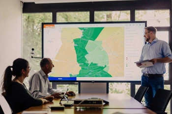
WIGeoWeb: WebGIS for Geomarketing
WIGeoWeb is your online GIS for business analysis. Interactive maps. Visualize data. Simple. Intuitive. The WebGIS for your company.
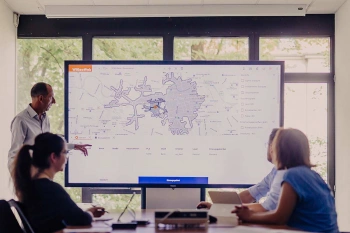
WIGeoLocation: WebGIS software for location analysis
WIGeoLocation is the modern WebGIS software for location analysis. Your location report in just 3 minutes.
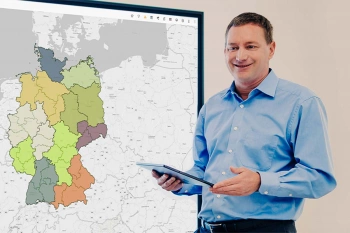
Plan Sales Organizations with SalesNet Software
With SalesNet, you can plan your sales organization ad hoc, quickly & easily. This is because changes are automatically transferred to all the other hierarchical levels, including ERP/CRM.
Let us show you how our WebGIS simplifies your processes. We offer personal and practical consulting.
Geocoding Software & Store Locator: How to Map Your Customer Data Digitally and Help Customers Find Their Way to Your Locations
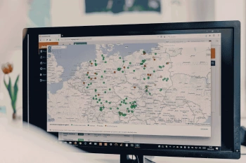
Geocoder Software JoinAddress
Find exact coordinates for your worldwide addresses from Excel files or databases. JoinAddress is smart, fast and stands out with its exceptional price-performance ratio.
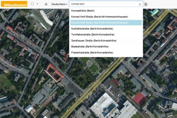
Autocompletion and Geocoding
QuickSearch is an API for address autocompletion and geocoding. The API offers autocomplete and typeahead functions and can be integrated quickly and easily into any software.
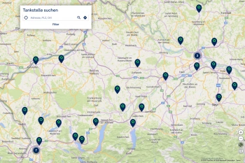
NextDoor Store Locator – Location Search for Your Website
Integrate a map-based location search into your website – with NextDoor, the store locator from WIGeoGIS, individually designed and hosted.
Let us show you how Geocoding improves your processes or how our Store Locator guides customers to your locations.
Desktop Geomarketing Software: Your Expert Solution for Complex Location Analytics and Data-Driven Decisions
QGIS Plugin for Geomarketing
The WIGeo QGIS plugin expands the QGIS software with numerous functions that make location analyses, target group analyses and market analyses easier for you.
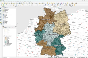
Simply Intelligent Territory Planning Software - WIGeoATP
Automatically plan, divide and visually display sales territories. At a Zip Code or municipality level. In every European country.
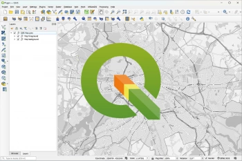
What are the advantages of QGIS software?
QGIS is the basis for geo-analytics on desktop systems. With a wide range of functions, open source software is the right choice for numerous applications.
Experience how Desktop GIS Software takes your data analysis to the next level.
The Perfect Implementation
Once you have decided on the right software, we will assist you with the technical implementation and train your employees. If required, we will gladly take over the operation of your software.
The Advantages of Using GIS for Data Analytics
Prof. Dr. Petra Staufer-Steinnocher from the Vienna University of Economics and Business and Nato Klems from CLAAS give a brief overview of the key advantages of data analysis with geomarketing software in a video interview.
Discover how our customers successfully use geomarketing software

ANWR GROUP uses WIGeoLocation
The trade cooperation ANWR GROUP generates location analyses for the specialist trade using WIGeoLocation.

Raiffeisen Banking Group: Geocoding and Penetration Analyses
The Raiffeisen Banking Group uses JoinAddress to geocode addresses across the entire group and relies on demographic data from WIGeoGIS for penetration analysis and customer acquisition.

Case Study WebGIS: This is how CLAAS uses WIGeoWeb
Potential analysis, market analysis and territory management all with one WebGIS! Yes! CLAAS has been using its own WIGeoGIS WebGIS to answer many questions since 2014.

Austrian Post: Branch Network Planning and Parcel Collection
Austrian Post plans the locations of its branches and parcel collection stations using the geomarketing software WIGeoWeb from WIGeoGIS.
Discover how Geomarketing Methods and GIS Software can support your daily work
Why Geomarketing?
Geomarketing allows you to identify your market potential and plan your expansion, sales and marketing activities. WIGeoGIS provides comprehensive support.
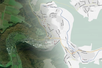
The Basics of GIS and Geoinformatics
What is a GIS? What is GIS software used for and what do you need to use it? Let us explain the basics.
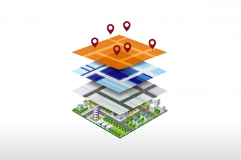
Discover the Potential of Location Intelligence
With Location Intelligence, you analyze your data spatially and visualize it on a digital map. This helps you to make smart strategic and business decisions.
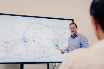
Business Development and Geomarketing
Identify market and customer potential, open up business areas, develop sales networks: Geomarketing analysis tools are ideal for a wide variety of business development tasks.
Geomarketing Software: Request a FREE Live Demo!
- FREE Live-Demo* of GIS Software
- Non-binding, without further obligations
- Online presentation via video call
Do you want to know more about Geomarketing software? I will be glad to support you.
FAQ
-
What can you do with geomarketing software and how can it benefit your company?
In every company, decisions have to be made on a daily basis, both large and small. The spatial representation and processing of your data opens up new insights and relationships that were previously not recognizable. Questions are rationalized and objectified. This will help you to make good decisions.
Classic fields of application are any question regarding markets, target groups, locations and branches, as well as planning and controlling in sales. Furthermore, sales forecasts and the visualization of sales, competitor analyses and the optimization of your media planning.
-
What types of geomarketing software are there?
In terms of type of software: a desktop program or browser-based.
In terms of content and applications: as a broad tool designed for all types of market potential analyses, optimized for special fields of application such as location analyses or sales, or as pure geocoding software (such as JoinAddress) to carry out the first step of every geomarketing analysis, the linking of data with coordinates. -
Which geomarketing software is right for me?
That depends on a number of factors, for example
- What type of data do you have?
- How often do you need the analyses?
- How many employees should work with the GIS, and do these employees have geomarketing know-how or not?
- Should the software only be used from individual expert workstations, or from every workstation, maybe even on-the-go?
We will help you to ask the right questions and advise you on the selection and implementation.
-
What is the difference between a web and a desktop GIS, and what are the pros and cons?
A WebGIS, like our WIGeoWeb, runs in the browser and can therefore be used from any workstation in the company (including on-the-go with a tablet). It is well suited for standardized, repetitive questions that can be carried out by a wide range of employees without the need for training and without expert knowledge.
A desktop GIS, like our WIGeo QGIS, is better suited for complex questions. It is installed at the respective workplace. It is the right choice if your complex geomarketing analyses are carried out by a few employees with expert knowledge.
-
What does the abbreviation “GIS” mean?
GIS stands for Geographical Information System, in other words for the automated processing of digital spatial data. Geocoding data, i.e. assigning data to coordinates, is the basis for most analyses. This allows the data to be displayed visually on maps and numerous questions can be answered analytically, rationally and objectively. This is called geomarketing.
We will show you Geomarketing Software and advise you! Free of charge and with no Obligation!

