Geomarketing Supports Business Development
Business development means helping to shape the development of a company, keeping an eye on the market and identifying potential early on. Geomarketing and WIGeoGIS help you do exactly this. Data-supported digital maps help you set the course for a successful future.
Business development requires one thing above all: an overview of the market! Business development managers should therefore always be one step ahead of the rest and know what is happening in their company and on the market. This is the only way they can adapt their business model, sales organization & distribution channels and their product portfolio to current requirements and thus ensure the success of the company.
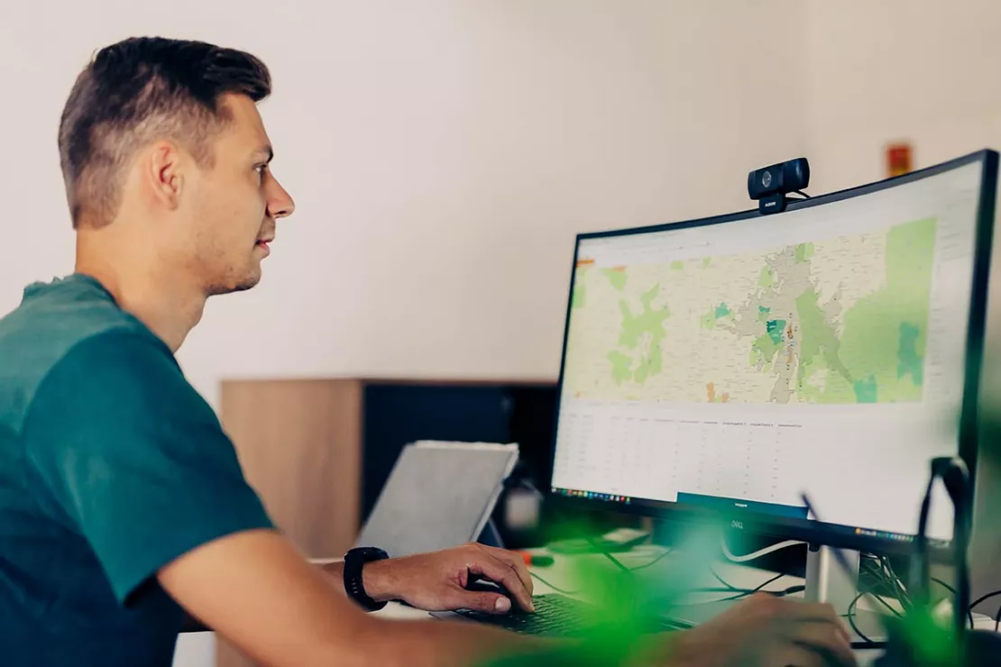
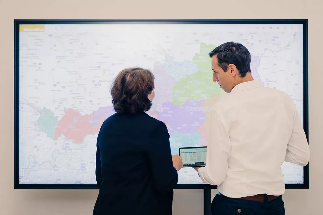
With geomarketing and tools such as the WebGIS software WIGeoWeb, data relevant for business development can be displayed and analyzed on interactive maps in a way that is immediately clear and understandable. This allows business development managers to identify market potential at a glance and receive a well-supported and data-based foundation for their decisions.
Learn more about the benefits of geomarketing and test WebGIS for free.
How Geomarketing Helps with Your Business Development
Geomarketing analysis tools are ideal for a wide variety of business development tasks. The following will outline those areas in business development where geomarketing can provide enormous support.

Understanding Markets
Geomarketing systems help business developers to better understand markets and identify market potential at a glance. They also help ensure products are placed strategically and operationally.
Geomarketing analysis tools display relevant data such as sales, customer groups and market shares on an interactive map. This makes relationships visible during business development that would otherwise remain hidden. Market analyses provide answers to these questions:
- How should I distribute my customers and sales?
- What is my regional market share?
- Where do opportunities exist for additional growth?

Opening Up Business Areas
One of the central tasks in business development is the development of existing sales markets, business models and partnerships.
The development of new business areas must be based on the needs of the market. This requires a very strong data-based foundation for decision-making. Our geomarketing software WIGeoWeb answers questions like:
- How big is my market or my market volume?
- How high is my market share?
- Where do I have high market potential?
- Who is my competition and what are their strengths and weaknesses?

Identify Market and Customer Potential
Securing market shares and market potential is how business development managers help their company develop further. Geomarketing tools allow you to locate your potential customers or partners, regardless of whether they are B2B customers, retailers or end customers.
Your market potential is clearly displayed on a map at the ZIP Code, district, provincial or federal level depending on your needs. Geomarketing can help you answer such questions as:
- Who are my customers? Where are they located in the region?
- What does my target group look like and where can I find them?
- How can I best serve my customers?
- Do I have to change sales channels or the area structure?

Developing and Implementing Sales Networks
The planning of sales structures such as sales territories or retailer networks is another task in business development that is made much easier and more efficient thanks to geomarketing software. Interactive maps allow you to see the regional distribution of potential and customers at a glance.
This enables you identify growth and savings potential and answer such questions as:
- Which sales areas provide the best market opportunities?
- How can I employ the sales team most efficiently and distribute them most fairly?
- How can I optimize my retailer network?
- Where can I make savings?

Location Analysis
Careful location selection is also a major consideration for business development managers. Even the best location concepts are useless if the potential is lacking, the target group is not reached or the travel distance is too far for the customers.
Geomarketing tools such as WIGeoLocation help you perform a location analysis in just 3 minutes so you can answer such questions as:
- Where is the best location environment for my business?
- Where are there white spots?
- How many locations are needed to best supply the target market?
- Where should branch locations be closed or moved?
Try WIGeoWeb, the software for business development, free for 30 days with no obligation.
What Data is Available in Geomarketing?
In order for the results of market analyses, market penetration and customer analyses to be meaningful and lead to the best decisions in business development, internal company data such as sales and turnover figures, customer, retailer and branch location data as well as regional data are required.
WIGeoGIS provides external data individually as required, for example socio-demographic data, data on retail companies or industry data.

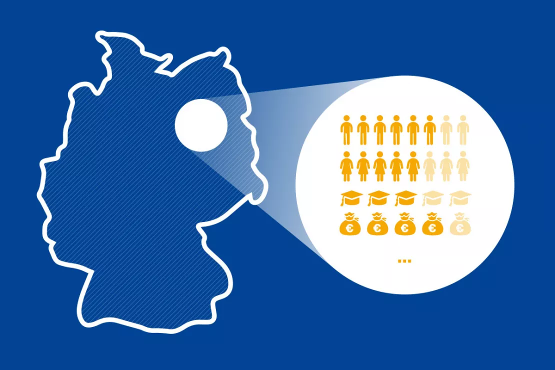
All the data used in geomarketing has a spatial reference. Here are just a few examples:
- Population structure (number of inhabitants, e.g. daily population, inhabitants by nationality or life stage)
- Age Structure
- Households by size, income class, housing situation and family structure
- Buildings, e.g. residential buildings/apartments
- Purchasing power, e.g. per capita purchasing power, purchasing power for private consumer spending, purchasing power for everyday goods, purchasing power by age, life stage and gender, eCommerce purchasing power
- Purchasing power per assortment (60 different product groups)
- Data on retailers, e.g. supermarkets, pharmacies, gastronomy
- Data on public infrastructure, e.g. transport connections, public institutions such as schools, hospitals, offices etc.
- Industry data, e.g. gardens, agricultural land
Would you like to test a WebGIS? Request your WIGeoWeb test account for free with no obligation.
This is how companies in business development benefit from geomarketing tools
Numerous successful companies already rely on geomarketing analysis tools for important decisions in business development. Here are a couple of best practice examples.
Example 1: Territory Management and Market Analysis for Agricultural Technology Providers
CLAAS, one of the world’s leading manufacturers of agricultural machinery (including combine harvesters, tractors and forage harvesting machines) has been conducting market, performance and potential analyses with the WebGIS from WIGeoGIS since 2014 and uses it to optimize its territory management. Geomarketing software helped CLAAS to increase efficiency and save time. It used to take a data analyst five to six days to enter all the data, prepare a report and send it to the recipient. With the WebGIS, the creation and delivery of a market analyses takes less than a minute since data updates, report creation and delivery are automated. Examples of visualizations in the WebGIS geographic dashboard:
- The areas and their distribution, for example pastures and meadows, vineyards and orchards around Strasbourg
- The geo-analysis shows the sales of all self-driving harvesters in California in the past year, broken down by county.
Example 2: Location Analysis and Sales Network Planning for Lottery Acceptance Points
Toto-Lotto GmbH Baden-Württemberg develops its sales network for lottery acceptance points with the help of WIGeoLocation, the online tool for location analyses from WIGeoGIS. The geomarketing software was introduced for the purpose of digitization as well as the desire to increase efficiency and visualize the network of acceptance points on a digital map. Lotto Baden-Württemberg accesses all the relevant location data and can, for example, keep an eye on their weekly sales, sales development and lottery orders for each acceptance point. Other examples where geomarketing software is used:
- New staffing of acceptance points
- Territory optimization and territory development
- Potential and performance analyses of individual acceptance points (e.g. data on average age, population density, retailers in the area and their retail space, footfall generators, population density and much more.)
In these companies, business development already benefits from geomarketing:

Case Study WebGIS: This is how CLAAS uses WIGeoWeb
Potential analysis, market analysis and territory management all with one WebGIS! Yes! CLAAS has been using its own WIGeoGIS WebGIS to answer many questions since 2014.

Case Study STIHL
The manufacturer of chainsaws and tools for the construction industry and gardening and landscape maintenance uses the location analysis software WIGeoLocation for the development of its retail network and advertising material planning.

GIS in the Vienna Chamber of Commerce
The ServiceCenter shops of the Vienna Chamber of Commerce have collaborated with WIGeoGIS in matters of location information.
Business Development and Geomarketing: Request a free initial consultation
- FREE initial consultation on geomarketing
- Non-binding, without further obligations
- By telephone or video call
Do you want to use geomarketing* optimally? I will gladly support you. Please contact me!
* The products of WIGeoGIS are intended for companies and are not suitable for private use. If you need a one-time market analysis, we will gladly make you a service offer.
FAQ
-
Which geomarketing software is suitable for business development?
At WIGeoGIS, we differentiate between specialist software, which requires technical know-how, and multi-user software. Any multi-user software from WIGeoGIS is suitable for business development. All our WebGIS applications are multi-user software, specifically:
We would be happy to help you find the software that is most suitable for you in a free initial consultation.
-
What business development tasks does geomarketing support?
By displaying the relevant data clearly and understandably on an interactive map, geomarketing analysis tools support business developers in the following tasks:
- Understanding markets and identifying market potential at a glance
- Placing products strategically and operationally
- Developing existing sales markets, business models and partnerships
- Identifying customer potential
- Securing market share and identifying potential
- Planning and optimizing sales structures such as sales areas or dealer networks
- Identifying growth and savings potential
- Performing location analyses and selecting locations
-
What internal company data can I integrate with the geomarketing software?
You can integrate any company data that has a spatial reference into the geomarketing software. Spatial reference means addresses, coordinates or administrative identifiers (e.g. ZIP Code or municipality IDs). Data such as turnover or sales volumes can also be linked to spatial data, for example by assigning them to an address or ZIP Code.
-
How are internal company data integrated into the geomarketing software?
- First, you have to geocode your data. Geocoding converts places and addresses into X/Y coordinates and vice versa. This is done using geocoder software.
- The geocoded data are then merged into an interactive map through data integration in a geographic information system and ETL processes in order to perform geo-analyses.
-
What external data does WIGeoGIS provide in the geomarketing software?
WIGeoGIS provides all data that have a spatial reference, for example:
- Population structure (number of inhabitants, e.g. daily population, inhabitants by nationality or life stage)
- Age Structure
- Households by size, income class, housing situation and family structure
- Buildings, e.g. residential buildings/apartments
- Purchasing power, e.g. per capita purchasing power, purchasing power for private consumer spending, purchasing power for everyday goods, purchasing power by age, life stage and gender, eCommerce purchasing power
- Purchasing power per assortment (60 different product groups)
- Data on retailers, e.g. supermarkets, pharmacies, gastronomy
- Data on public infrastructure, e.g. transport connections, public institutions such as schools, hospitals, offices etc.
- Industry data, e.g. gardens, agricultural land
If you have further questions about which external data WIGeoGIS makes available, request a free initial consultation now.
-
How does geomarketing for B2B companies differ from geomarketing for consumer companies?
For B2B companies (business-to-business), socio-demographic data are of secondary importance, since these companies themselves only have companies as customers. For companies that offer their products and services to end customers, target group analyses and thus socio-demographic data are of particular relevance. It can also occur that the analytics cover both areas.

